
Click to zoom
Description
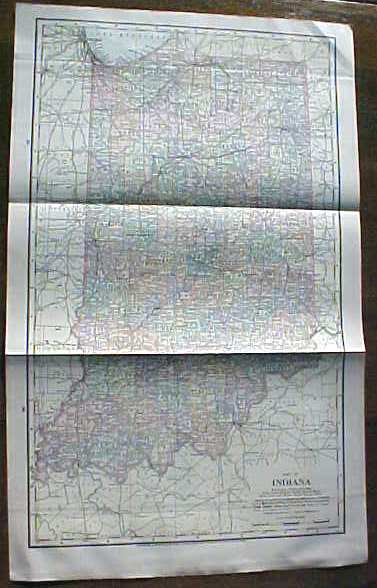
Offering this nice old large fold out map of the state of Indiana, this map comes from the Peerless Twentieth Century Pictorial Gazetteer. This map was published / printed by Crowell Publishing Co, New York, 1906, copyright date on map is 1898 - this is an authentic map from 1906 - not a reproduction. Measures 13 1/2 inches tall x 21 3/4 inches wide, fine condition, no holes or tears. Wonderful colors and details. These old maps are excellent for framing. A handsome piece of history for your home or office!
Specifications
| Condition | Good |
| Year Produced | 1906 - 1906 |
| Weight | 1 lbs |
| SKU | PEER1906a34 |
Antique Map Indiana 1906 Large Fold Out
$45.12
Shipping calculated at checkout
Fulfillment
Shipping
Caldwell, OH
Estimated Delivery
5-7 business days

Description
Offering this nice old large fold out map of the state of Indiana, this map comes from the Peerless Twentieth Century Pictorial Gazetteer. This map was published / printed by Crowell Publishing Co, New York, 1906, copyright date on map is 1898 - this is an authentic map from 1906 - not a reproduction. Measures 13 1/2 inches tall x 21 3/4 inches wide, fine condition, no holes or tears. Wonderful colors and details. These old maps are excellent for framing. A handsome piece of history for your home or office!
Specifications
| Condition | Good |
| Year Produced | 1906 - 1906 |
| Weight | 1 lbs |
| SKU | PEER1906a34 |