Click to zoom
Description
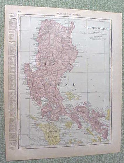
Offering this nice old 1912 map of Luzon Island on one side and the Hawaiian Islands on the other side. This map was published / printed by Rand McNally & Co, 1912; copyright date on map is 1910. Measures 14 x 11 1/2 inches, good+ condition, no holes, tears, or stains, light age toning which adds to its charm. Nice colors and details. These old maps look really great matted & framed. A handsome piece of history and unusual art piece for your home or office!
Specifications
| Condition | Good |
| Year Produced | 1912 - 1912 |
| Weight | 1 lbs |
| SKU | RM1912568 |
Map Luzon Island Hawaii 1912 Antique
$16.85
Shipping calculated at checkout
Fulfillment
Shipping
Caldwell, OH
Estimated Delivery
5-7 business days
Description
Offering this nice old 1912 map of Luzon Island on one side and the Hawaiian Islands on the other side. This map was published / printed by Rand McNally & Co, 1912; copyright date on map is 1910. Measures 14 x 11 1/2 inches, good+ condition, no holes, tears, or stains, light age toning which adds to its charm. Nice colors and details. These old maps look really great matted & framed. A handsome piece of history and unusual art piece for your home or office!
Specifications
| Condition | Good |
| Year Produced | 1912 - 1912 |
| Weight | 1 lbs |
| SKU | RM1912568 |